Where Am I?!

By Fatemeh Maher

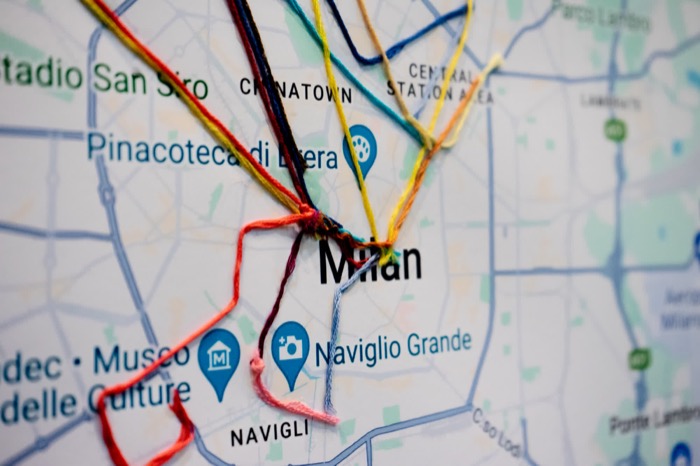
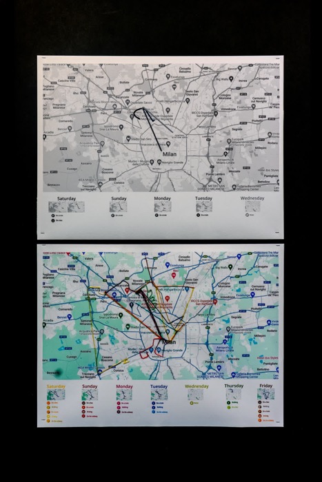
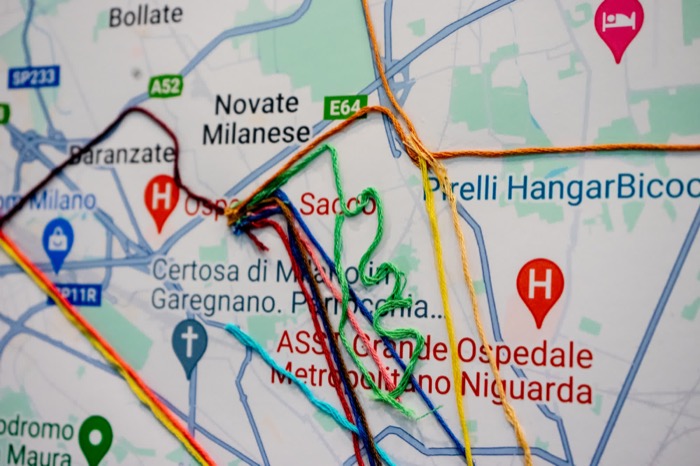
The objective of this project is to visually illustrate my navigation and destinations from the past week, meticulously recorded within the Google Maps timeline. The underlying concept is to highlight my daily reliance on the application for locating destinations, navigating routes, and optimizing transportation choices for efficiency. The presentation unfolds on two posters, where one poster visually delineates the specific locations I actively searched for, while the other portrays locations automatically recorded by the app itself.

Featured image of the project Where Am I?! Complementary image of the project Where Am I?! Complementary image of the project Where Am I?!

Metaphor used:

This app acts as a guiding light in the darkness. Just picture yourself in an unfamiliar, dimly lit area where every step is uncertain and daunting. But with this app at your fingertips, it's like having a reliable flashlight, making your journey easier, and your progress more assured. In essence, this app serves as our metaphorical guiding light in unfamiliar terrain.

Intended Meaning:

The widespread integration of technology, especially applications like these, which exert a profound influence on our daily existence, highlights a growing dependence on technology over our innate abilities. Through this dataset, my intention is to emphasize the importance of these applications in our daily schedules, underscoring their pivotal role in aiding us with tasks that were once manually performed—such as recalling street names for independent navigation to our destinations.

Source:

Google Maps dataset from a week’s usage.